First stop: Killinaboy Church Ruins (description below from Megalithic Ireland)
"The church at Killinaboy is believed to be a late medieval rebuild of a earlier 13th century church. The name Killinaboy is derived from the Irish Cill Iníne Baoith, meaning "Church of Baoith's daughter" who is reputed to be the founder of the original monastery here. The most striking feature of the church is the double barred Cross of Lorraine that is built into the west gable."

"The Cross of Lorraine was a form or shape of reliquary used in Central Europe to enshrine fragments of the true Cross. The first relic of the true cross in Ireland was enshrined in the Cross of Cong which dates to the early 12th century. Further fragments of the cross appeared in Ireland after that date. Harbison has suggested that the cross integrated into the west gable may imitate a reliquary of the true cross that may have been kept in Killinaboy church around the 13th century."
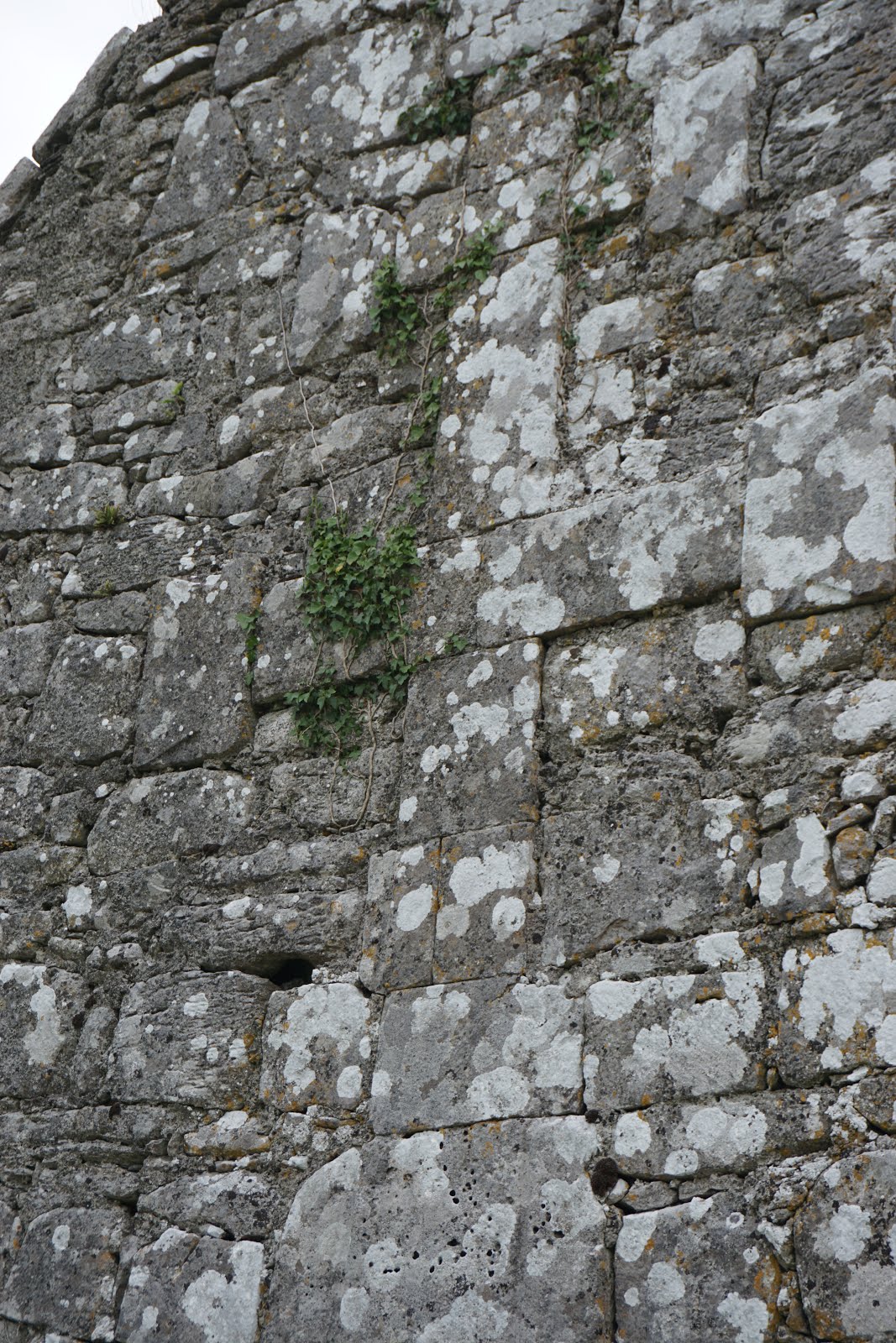
"The north and west walls of the 19.20 meter long church are probably 13th century and the East window is much later."

"To the north of the altar is a 15th century ambry."

"To the north of the church is the stump of an 11th century round tower."

"An excellent sheela stands just above the late medieval entrance in the south wall. There are traces of incised ribs on the sheela's right hand side. Her hands appear to meet just above the vulva. Local tradition believes it represents the first abbess and founder of the monastery Inline Bait."

It was interesting how the church ruins have been used for burial sites. It added a further sense of reverence to the visit.

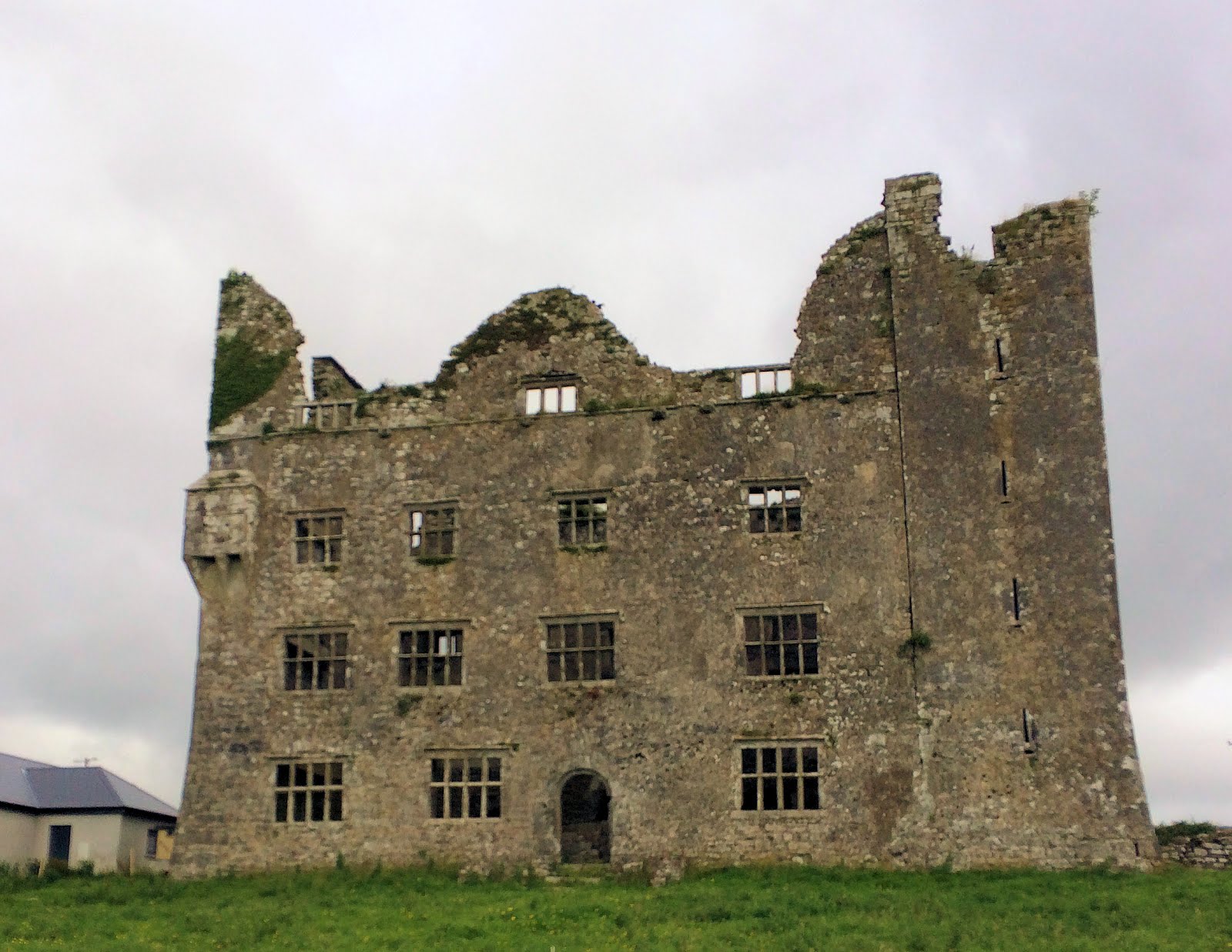
Our next stop, Leamenagh Castle Ruins, wasn't a stop but more of a drive by on the way to our next stop. You can read more about the history of the house here.

The walking tour includes a guidebook which describes the area, the different archaeological digs that have occurred, photos of artifacts found, and a time line of Irish archaeology.

This is a burial area. The cist on the left contained the remains of a toddler and a baby, while the larger right one held the remains of a 45-year old woman.

The fort walls are made of drystone construction. That means that no mortar was used to build it. The wall slopes slightly inwards, making it more stable, and is quite deep. The photo below was taken shooting into one of the gaps in the stone. It is about an adult arm-length deep.


This sub-circular structure was built in medieval times and was used for food storage. Nearby was an early Bronze Age timber-framed house, marked by modern timbers.
We had opted not to stay for a sheep dog demonstration because of the timing, but while we were exploring the caher, one of the shepherds was training one of the dog, so we got a glimpse of how the sheep dog handles herding the sheep.

About a kilometer down the road, we stopped at the Poulnabrone Dolman. The dolman, or portal tomb, was excavated in 1986, has been carbon dated to between 3800 - 3600 BC and is the final resting place for the remains of 30 individuals from the Neolithic age. The name Poulnabrone means 'The hole of the sorrows.'


The original capstone was found to be cracked during the excavation and was replaced. The slab on the ground behind the tomb is the original capstone.
Poulnabrone is situated in a karst limestone plateau, 150 meters above sea level.

Poulnabrone is a great place to see features of the Burren's karst landscape.

The crevasses in the limestone are called grikes, which form between blocks of limestones called clints. Grikes are just one of the many types of karst features that form when rainwater dissolves limestone.


Kamenitza are small hallows that form on limestone surfaces due to rainwater dissolution. Rainwater is slightly acidic and it dissolves limestone. Solution channels called rillenkaren form where water flows off the sides of the limestone pavement.

Large rocks were transported by ice sheets during the last Ice Age and deposited when the ice melted. These rocks are called Glacial Erratics.

The Burren is less than 0.5% of the area of Ireland but contains flora representing 70% of the country's 900 native plants.


A short trip down the mountain and we were at our next stop, Aillwee Cave and the Burren Birds of Prey Center.
We got there just in time for the Birds of Prey flying display. Below is the vulture.

Bug got to help in the demonstration, getting a chance to hold Jon Snow (the snowy owl).


We learned a lot about the different birds and what issues they face living in the wild. The final demonstration was the falcon and she was a beauty!


After the demonstration we drove up the mountain to get to the cave entrance and were entranced by the view of valley bordered by Galway Bay from the parking lot.

The Aillwee Cave is one of the oldest caves in Ireland, formed during the 1st Ice Age was discovered in 1944 when a farmer's dog chased an animal down a hole. When the dog didn't return right away, the farmer followed him into the hole and discovered the remains of brown bears in what is believed to be a hibernation nest.


There are some interesting formations in the cave, including what they call a frozen waterfall.

At one point, the tour guide turned off all the lights and showed us just how dark the cave could be. It was pretty amazing! The tour finishes near an underground waterfall.

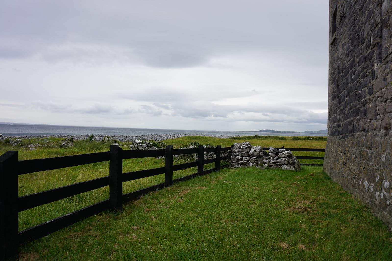
Next up on our Burren tour were the ruins of Gleninagh Castle. On the way there, we stopped to view the Pinnacle Well, which you can read more about here


The road that leads to the Gleninagh Castle ruins was really just two ruts with lots of potholes and was overgrown with lots of vines and greenery. Chip successfully navigated us back into the unknown, while I spent the time flinching every time we hit a bump and praying that there wasn't anyone else (car, bike, or pedestrian) on the road ahead.
 |
| Looking back down the lane from the widest area |
It was worth the 5 minutes of stress to see the beautiful views of Galway Bay from the castle lands.

"Looking down from a hillside across the wide expanse of Galway Bay, this well-preserved sixteenth-century tower house stands guard over the northern shoreline of the Burren. It has a distinctive L-shaped plan comprising an oblong tower of four storeys with a projecting turret."

"The entrance doorway lies at first-floor level with a protecting machicolation high above in the turret."


"Striking round bartizans are present on three corners of the main tower, while an attic in its roof was contained behind gables on all four sides."

"The third storey is vaulted and there is another over a dark basement, which may have been used as a prison. In the end wall a number of window embrasures were later blocked for fireplaces."

"The castle was built for the O'Loughlins, who were still resident in the 1840s. It remained occupied until the 1890s."You can read more about the history of the castle here.
On the property is the Well of the Holy Cross.

We parked right at the remains of a church, but didn't get to explore it because the vegetation was so thick and it was beginning to rain. Also, we were behind schedule and wanted to make sure we had time to finish our drive.

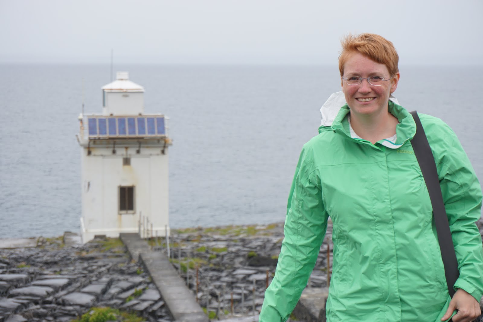
Continuing our drive, we stopped briefly at Black Head Light, the northerly most tip of County Clare. Its name in Irish is Ceann Boirne or Burren Head.
It was a beautiful drive along the ocean as we made our way closer to Liscanor.
When we arrived at our final destination, the Cliffs of Moher, it was raining and windy and we missed getting to visit the Tower of O'Brien by 30 minutes.

The rain gave the cliffs a mythical feel.


 |
| Bug trying not to blow away while standing at O'Brien's Tower. |
By the time we were done looking at the cliffs, we were all drenched, so of course we took a family selfie!

Thankfully we all dried almost completely during the car ride back to the hotel. We just ordered room service for dinner and are planning on having a less busy day tomorrow.

Post a Comment
Love to hear from you!